Dorset Walks - Lambert's Castle Hill
There are many reasons for taking a walk, but one particularly satisfying excuse is to go in search of some literary connection or other. You’ve read a novel and your imagination has been excited by thoughts of a distant landscape - so you put on your boots and march to the place where it’s all supposed to have happened…
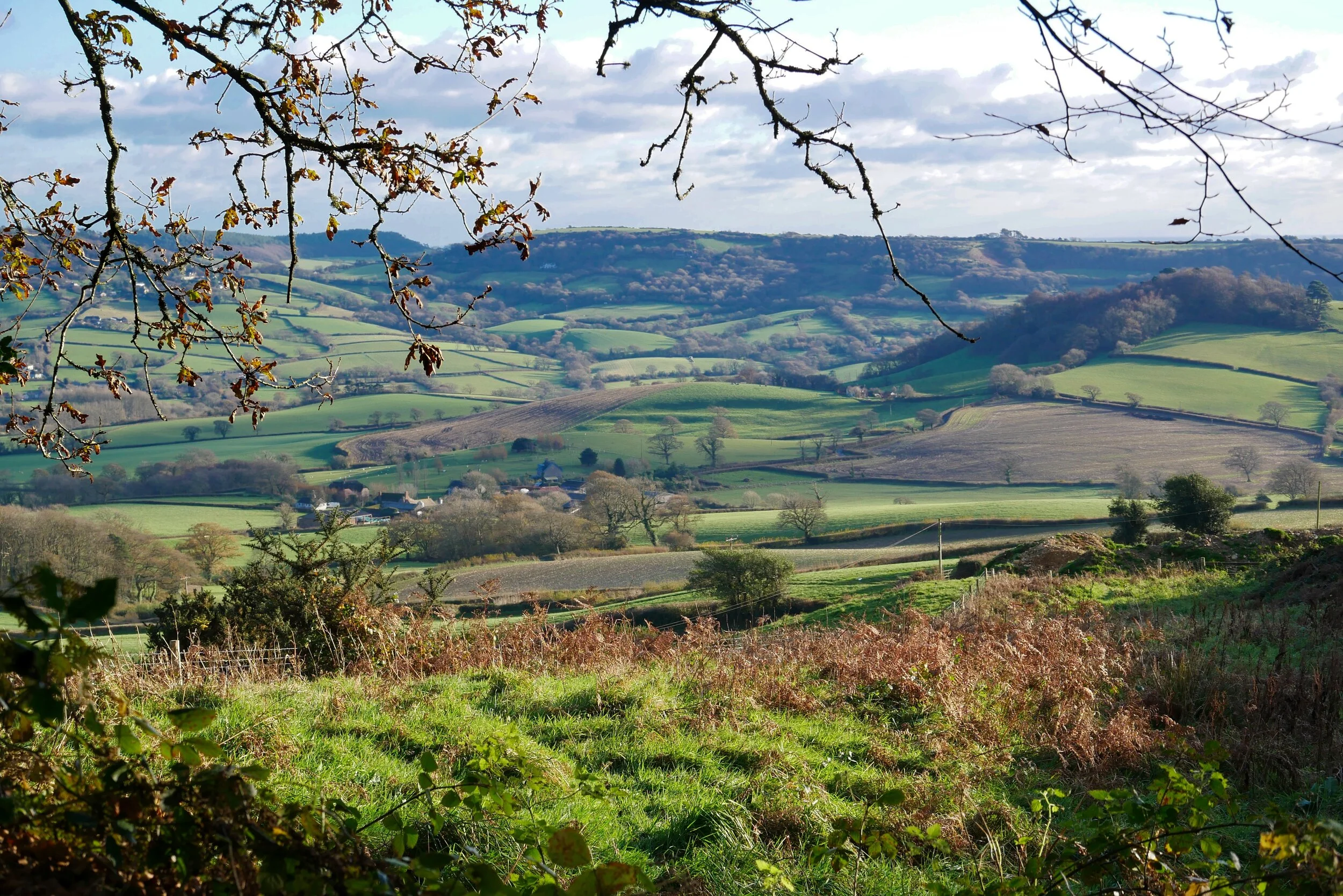
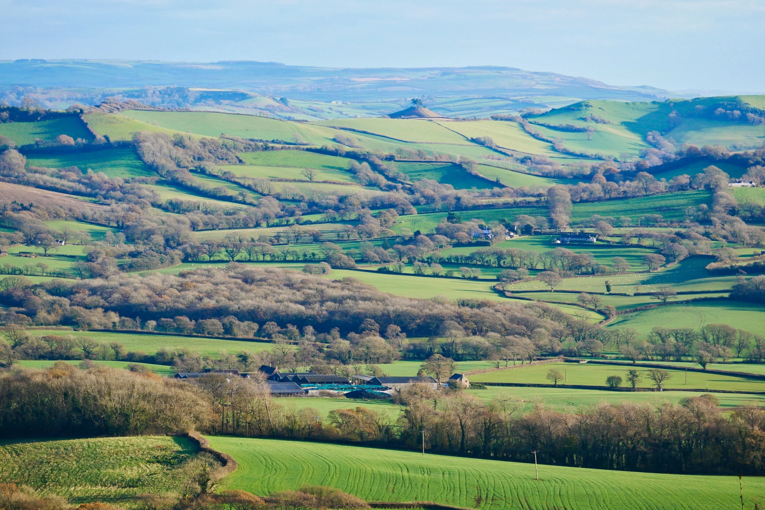
Looking down into Marshwood Vale from Lambert’s Hill
Which is exactly why my poet pal James Crowden invited me to walk around Lambert’s Castle Hill after I’d mentioned to him that I’d recently reawakened a fascination for Geoffrey Household’s 1930s novel, Rogue Male.
I reread the book recently after the author Robert MacFarlane wrote an interesting account of trying to track down the real-life location for the book’s iconic central location.
Which is, as many people will know, a hole in the ground. The unmanned British sportsman in Household’s novel has taken a failed assassination shot at an evil European dictator, which you imagine as a thinly disguised Hitler. His all-powerful Nazi thugs chase this hero back to the British countryside where he, literally, goes to ground.
MacFarlane waxes lyrical about Household’s ability to describe a sense of place - an ability which put this novel head and shoulders above most thrillers written both then and now.
“There is a sustained analogy between land and mind, whereby the narrator's access to his buried emotions is enabled only by means of a literal digging into the Jurassic bedrock of south-west Dorset,” he writes.
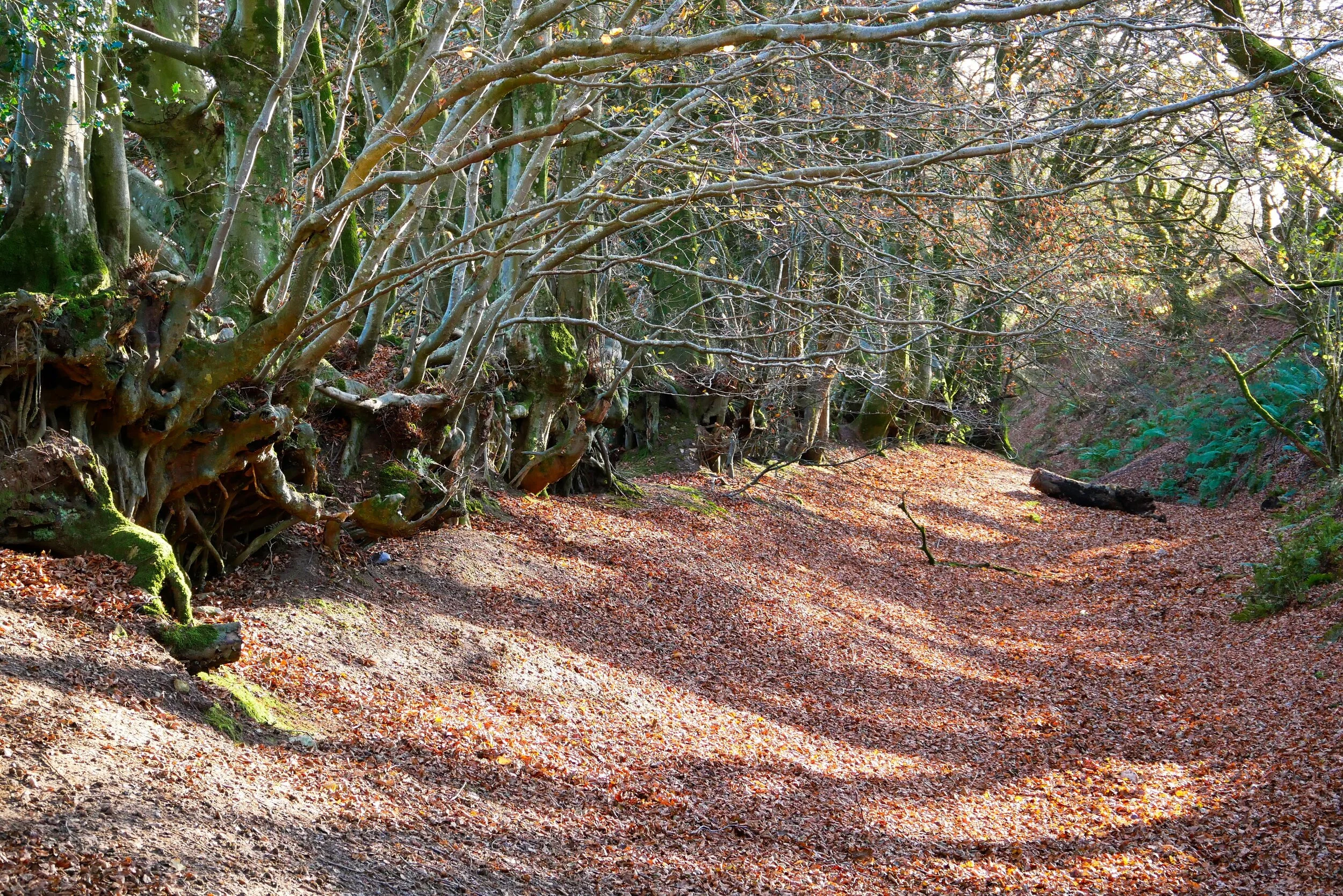
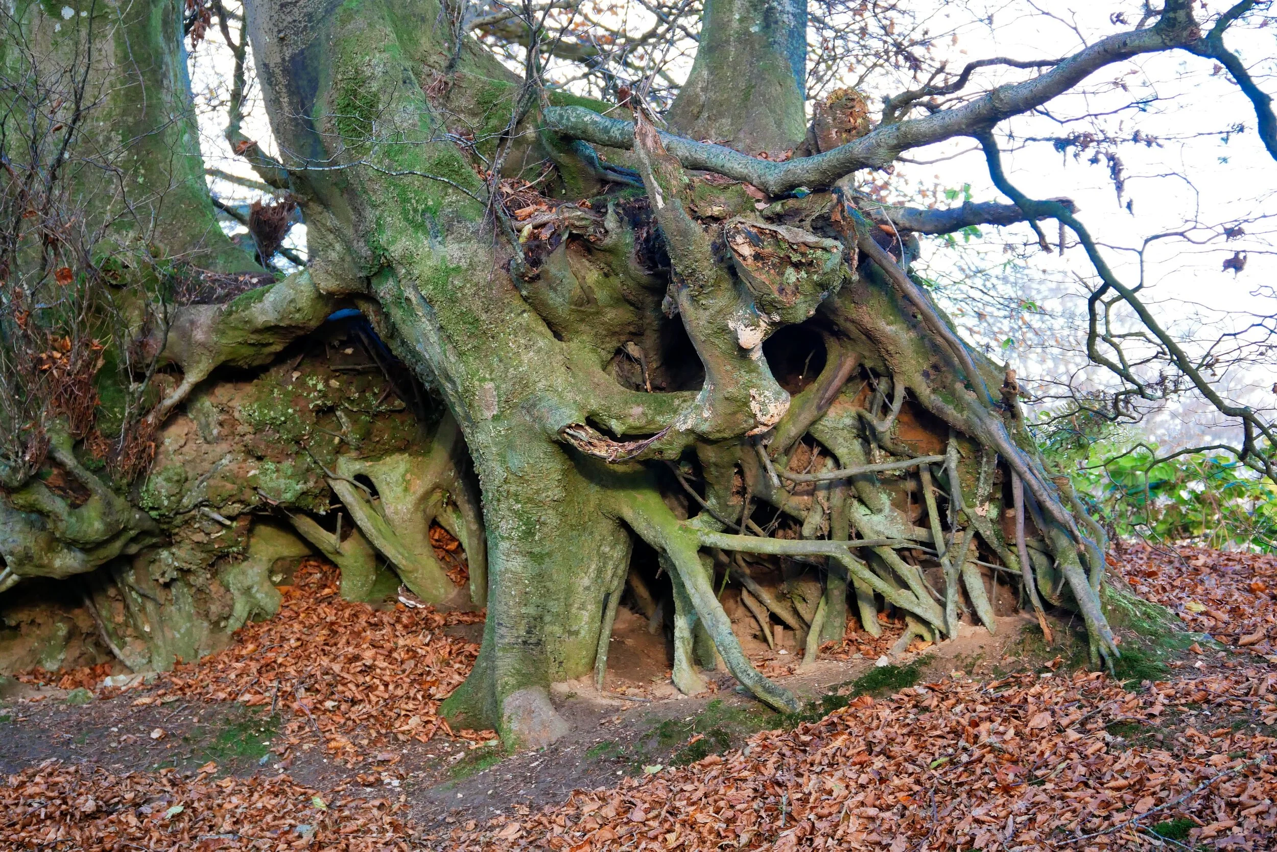
The hollow lanes under Lambert’s Castle Hill
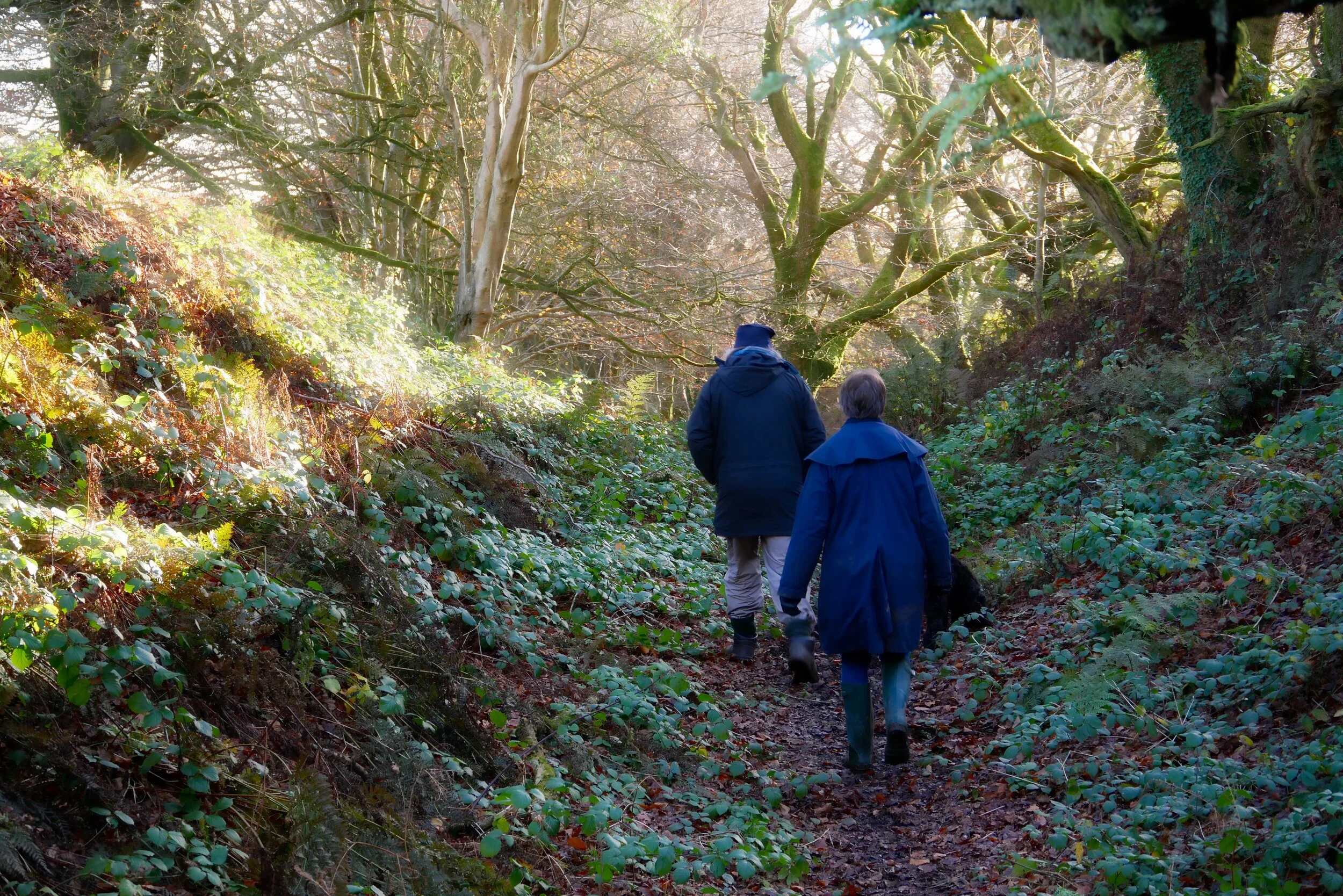
And so we set out on a figure of eight shaped hike that would take in both Lambert’s Castle Hill and Coney’s Castle, which both loom high above Marshwood Vale.
A local historian who joined us on part of the walk pointed east to the back end of a long green hill that rises from the coast above West Chideock. “That is the hill where the Rogue Male goes to ground,” she said. “But Household used an amalgamation of places around the hill to develop the location for his novel.”
We had parked at the National Trust car park on the B 3165 road which heads inland from Lyme Regis to Crewkerne. It’s well worth a trip up to Lambert’s Castle because of stunning views which reveal the very heartlands of Hardy Country.
It’s been a busy place down the centuries. Iron Age fortifications encircle the high ground that suddenly falls away steeply in every direction but one. Around 2,500 years ago this was a frontier zone, and it is probable that all sorts of internecine skirmishes were fought along its many ridges.
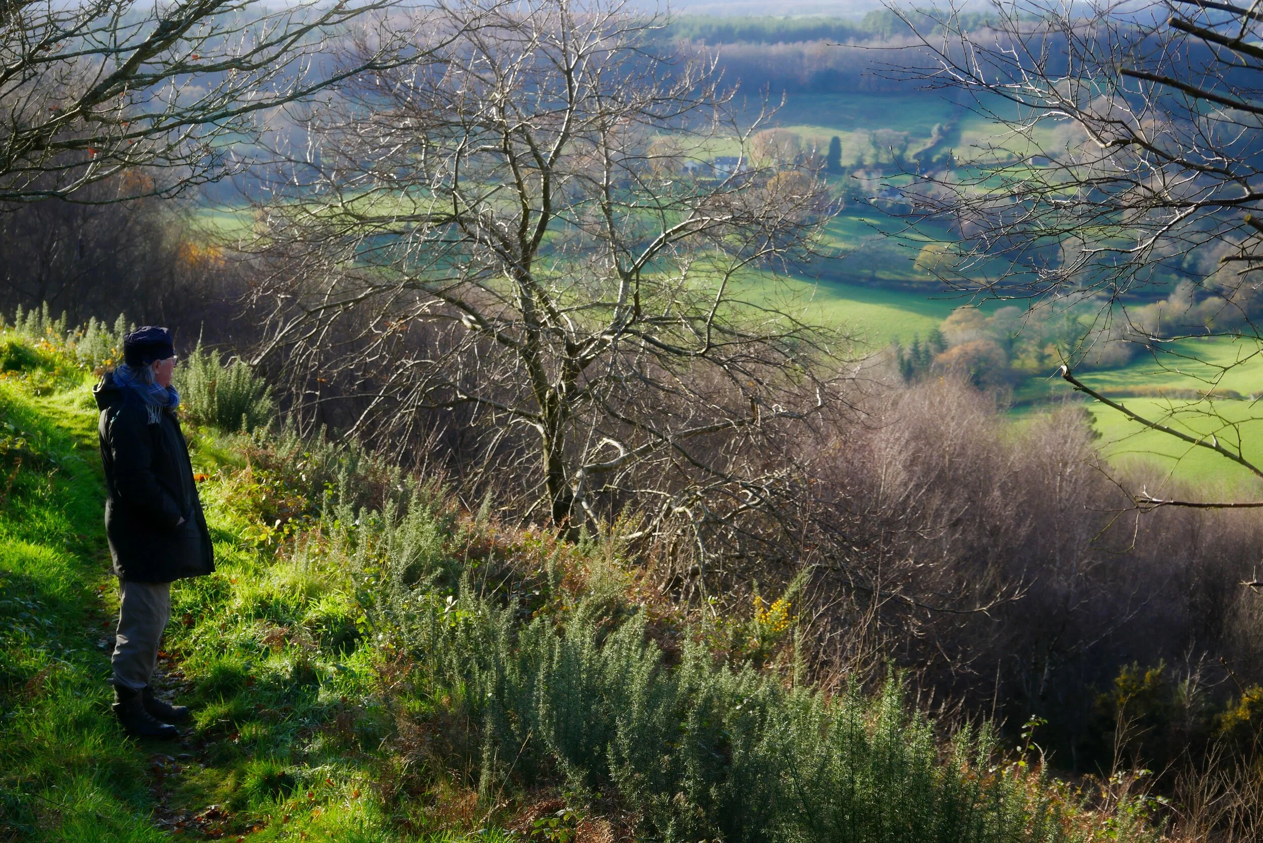
View towards Bridport
The Durotriges people lived to the east, and the Dumnonii to the west - and it may have been a case of never the twain shall meet, unless it was in battle.
So vague is our knowledge of this early history it’s not really known whether these hill-forts on the Dorset-Devon border were frontier posts or simply secure places to shelter families and domesticated animals from the predations of wolves and raiding parties.
Anyway, the level clockwise walk around the plateau offers some of the easiest hill-walking in the region. A wide path runs along the edge. Strolling along it you have no idea that you are actually walking along part of an old racecourse. Who would want such a thing up here and why? The answer lies in the annals of the Lambert Hill Fair, which was staged here for centuries.
Horse racing was just part of it. Apparently earthworks dotted about the hilltop are all that remains of the many fair buildings. There is documentary evidence of the fair existing from 1709 until about 1947 - and I bet those old records hide a fine tale or two in their dusty annals.
Our walk took us to the north-east corner where panoramic views of central Dorset opened up before us. To the north-east there’s another flat-topped hill with an Iron Age fort, called Pilsdon Pen.
And so on. The ridges go on and on for miles. Just over two centuries ago some - including Lambert’s Castle Hill - were chosen for the most advanced telecommunications system the world had ever seen. The relay stations were an integral component in a chain designed to link Plymouth with London.
Should Napoleon have come knocking on Devon’s door, this system of large shutters hoisted up masts, could have had news in London in under 20 minutes. It required a man who could understand the complex code of shutters being constantly on duty at each station. 200 miles in 20 minutes was not bad in those pre-telegraphic days when it would have taken someone a week to ride the distance on horseback.
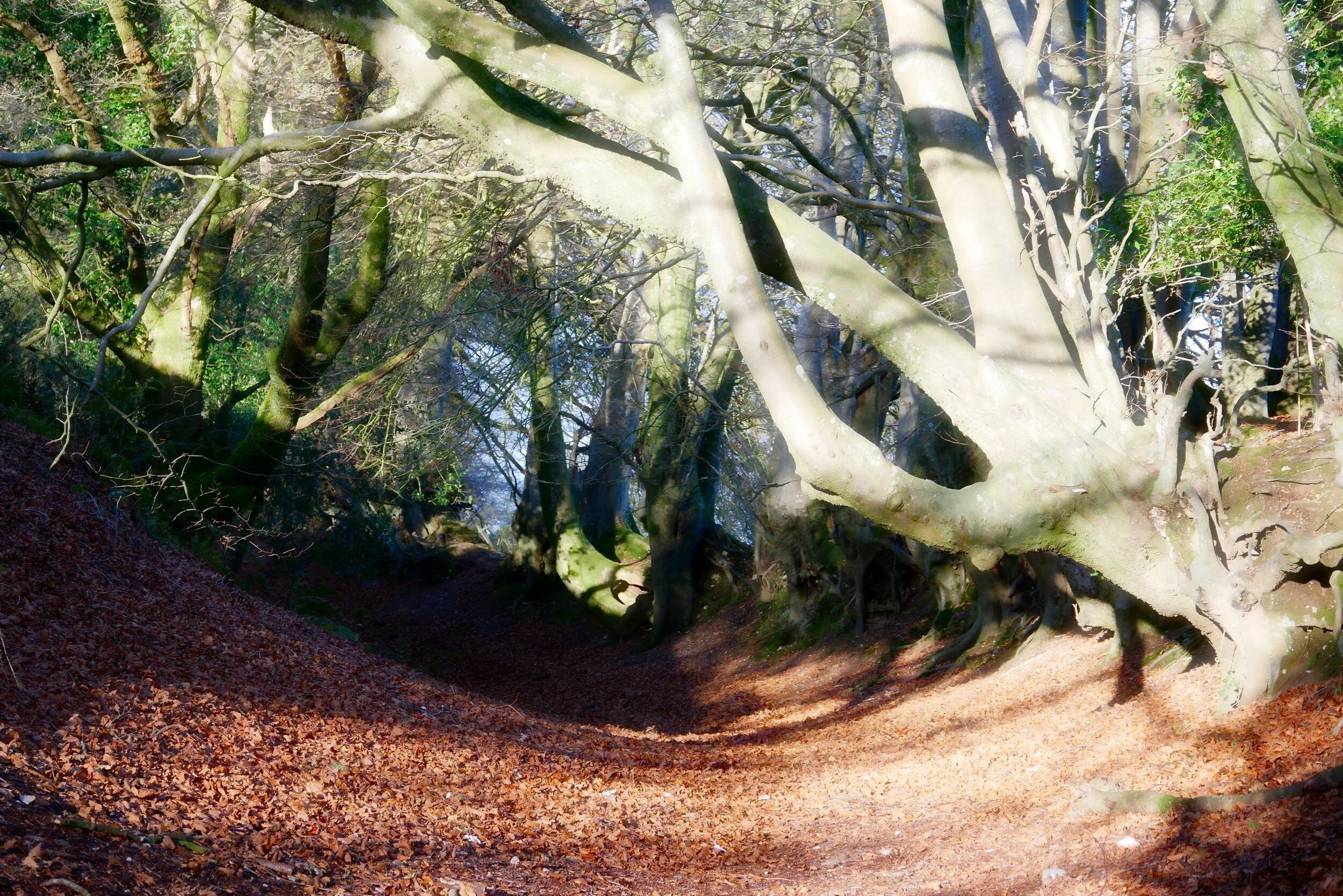
Path around Coney’s Castle
At the south-eastern tip of the plateau we found the path that descends to Coney’s Castle lying, slightly lower, half-a-mile to the south – and as we strolled down it we were treated to views of the English Channel twinkling a few miles down the valley at Charmouth.
By taking the quiet, level, lane straight in front of us at the bottom of the slope we walked across to Coney’s Castle. Its ramparts have been puzzling archaeologists because they’re in two separate areas and no-one can decide if the larger or the smaller came first.
Next we walked further south down the lane to find the track on our right which took us back around lower contours and brought us back to the hamlet of Fishponds, just under Lambert’s Castle. By following the lane east past the pond and that gave the place its name we were eventually able to find the path which climbs directly back up to the National Trust car park.
And so I had my literary linkage - and it was accompanied by some of the best panoramas you can enjoy anywhere along the South Coast.
Fact File
To find the walk: go to the National Trust car park at Lambert’s Castle Hill on the B 3165 Lyme Regis to Crewkerne road.
Distance and going: 3.5 miles, easy going with one steep descent and climb.

LOCAL KNOWLEDGE
Close Shave
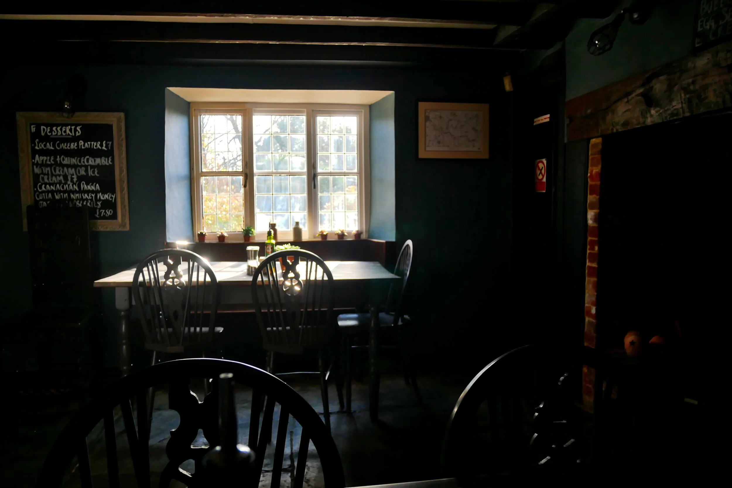
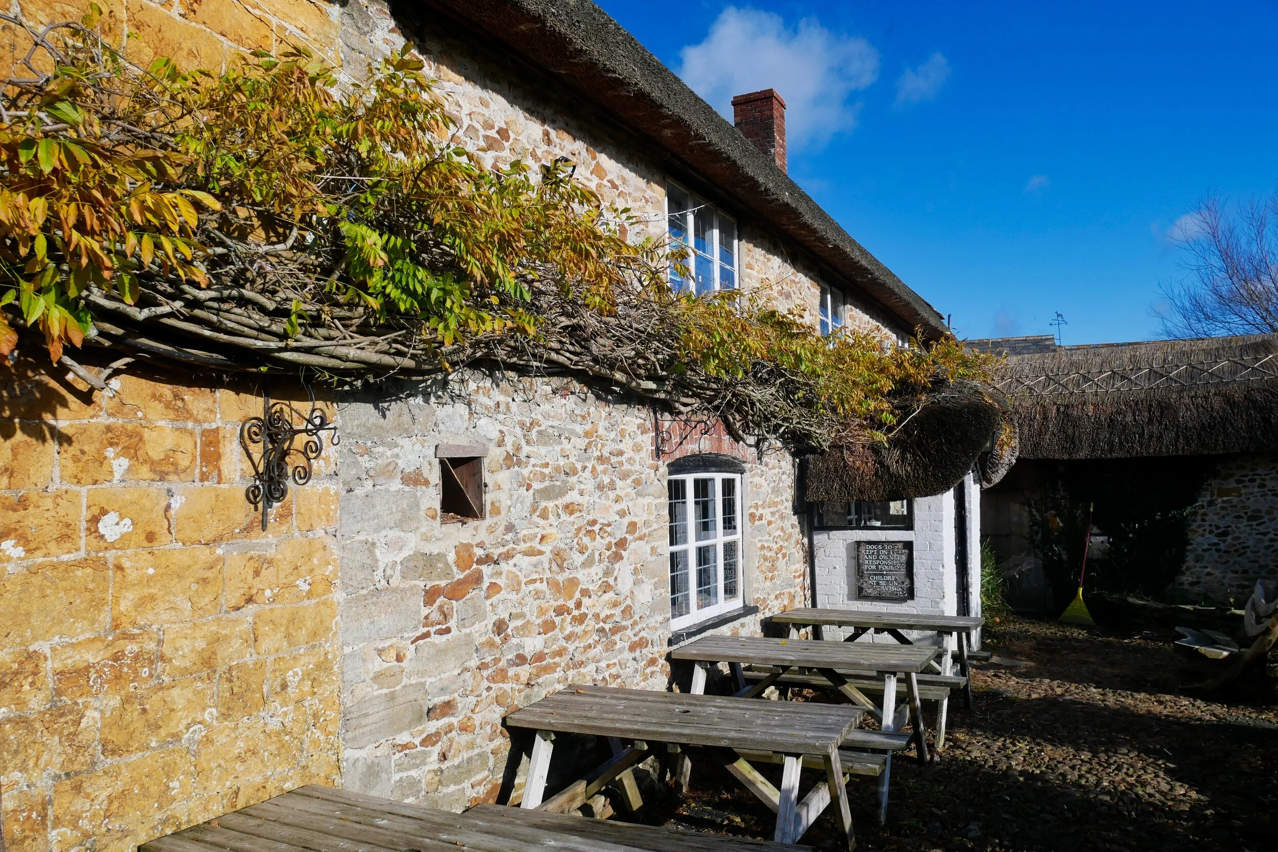
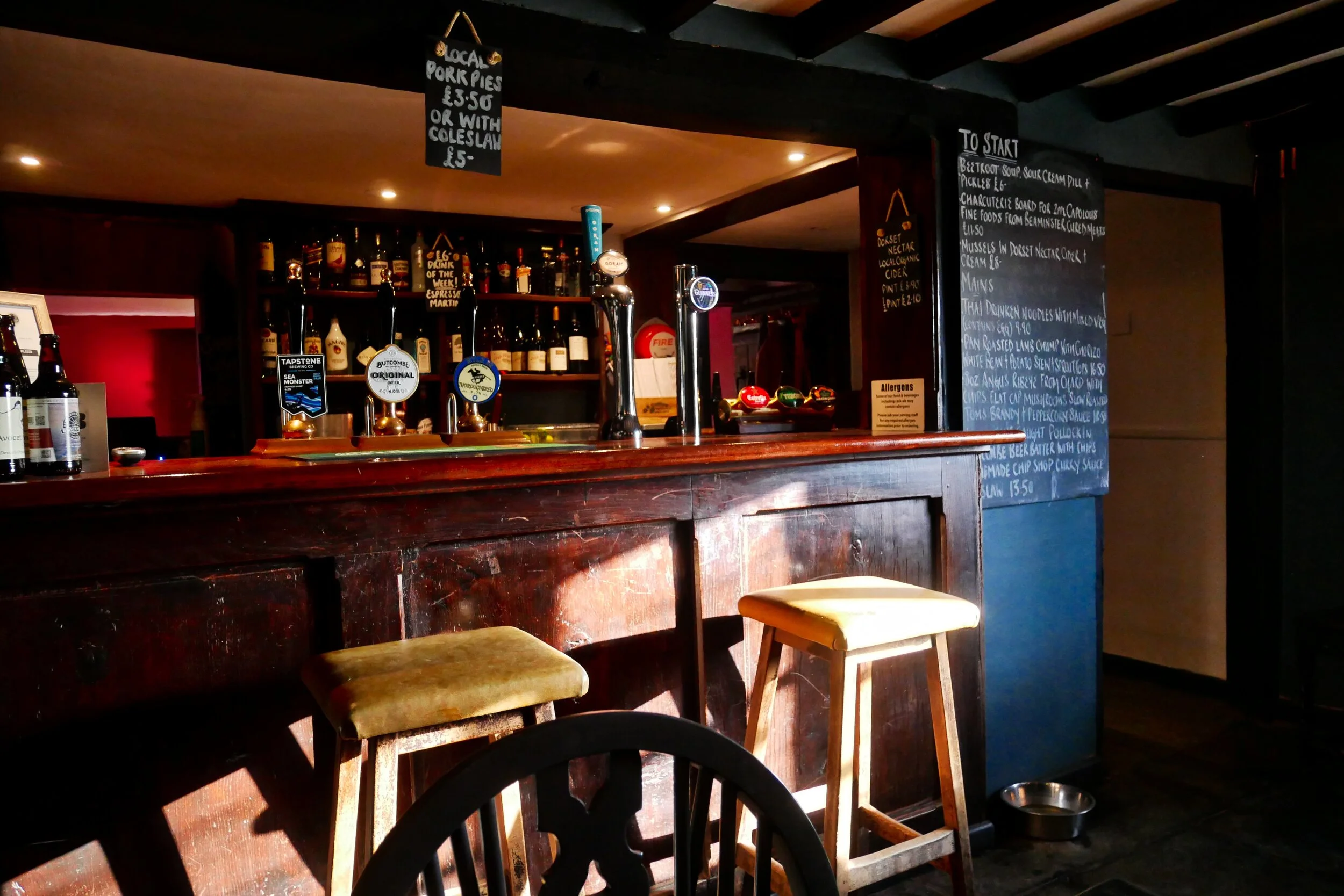
A couple of miles east of this walk we discovered the wonderful Shave Cross Inn tucked down a lane in Marshwood Vale. The 14th-century, flint-stoned, thatched-roof watering hole has recently been taken over and refurbished - and is well worth a visit.

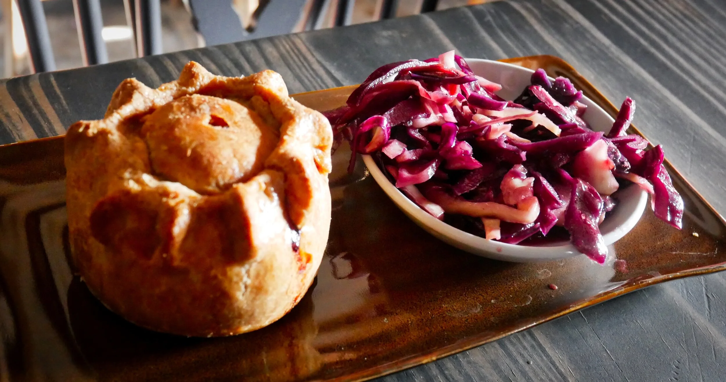
Telling porkie pies
The Shave Cross has an impressive menu, but as we had hills to climb we were content with the resident bar-special - an excellent locally created pork pie with a bowl of homemade red coleslaw. The subject of pork pies is an important one - why not email me your favourites at porkpies@martinhesp.co.uk
Longing for Lyme
Glimpses of the distant twinkling sea on this hike might tempt you - and why not? Lyme Regis is just a ten-minute drive from Lambert’s Castle and the West Dorset resort retains a special charm in midwinter.

Rainbow view looking east from Lyme Regis