


Remembering Lundy Island
This week I saw a young seal in Watchet Harbour. I have never seen one of these creatures this far up the Bristol Channel before - and can only imagine it was a little lost. However, it seemed in good shape and well fed - it was happily slipping up and down the harbour steps - so I can only hope it returned back down the channel to clearer waters.
Seeing it made me think of the nearest large seal colony, which is to be found out at the mouth of the Bristol Channel on the rocky shore of Lundy Island. Here’s an article I wrote about the isle many years ago - and as nothing much changes over there, it all stands good to this day.

Jenny’s Bay, Lundy
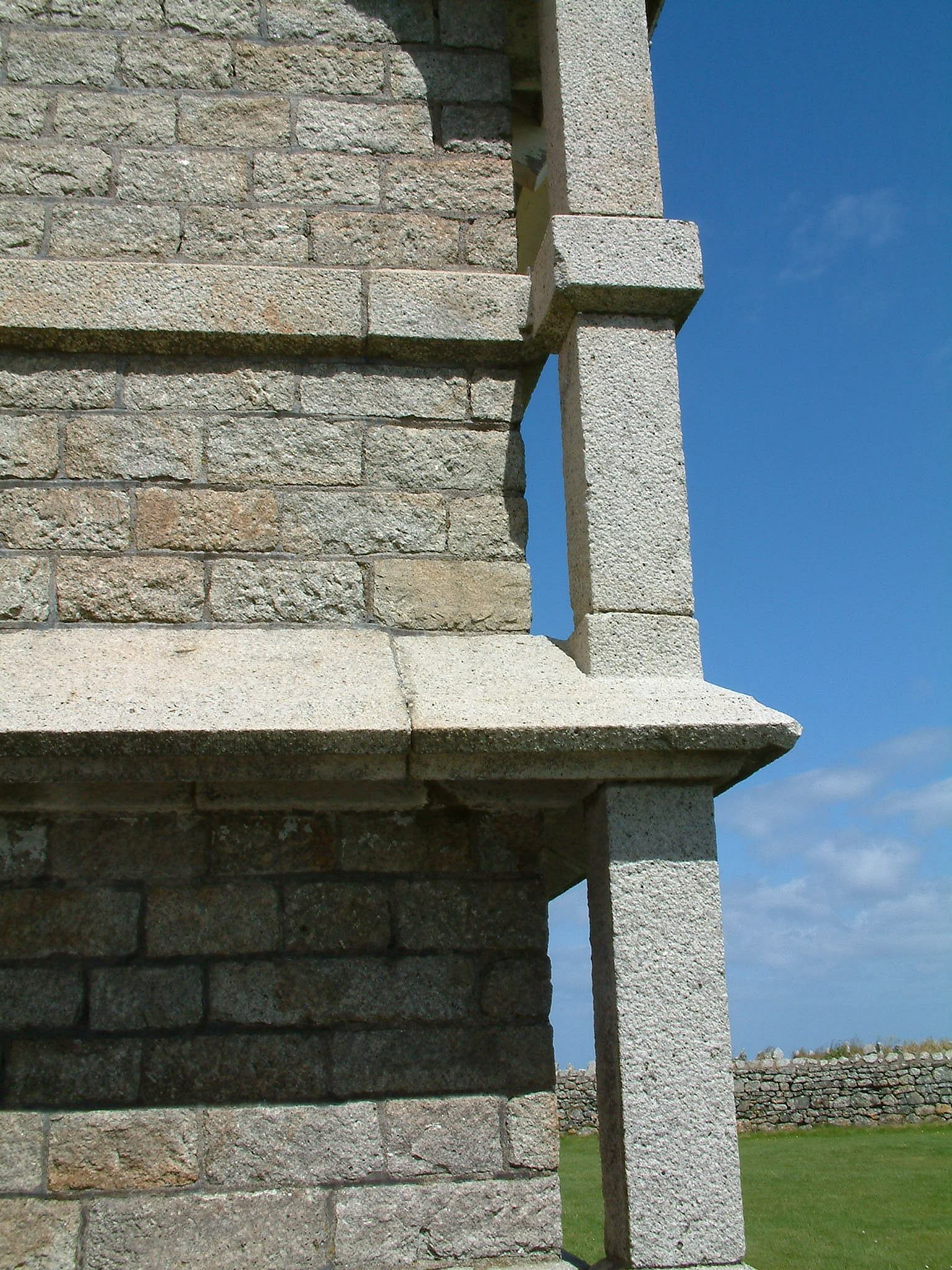
When it comes to watching sunsets nothing - anywhere - beats the lantern plate in the glass crown of Old Light perched 100 feet above the granite crags of Lundy Island. You can see the flickering beams of 21 other lighthouses around the Atlantic Approaches, you can see the coasts of Wales, Somerset, Devon and Cornwall.


Day time view from Lundy’s old lighthouse

Stairway to heaven - or to the Lundy lantern room
This is the most extraordinary room-with-a-view in England. Except, of course, it isn't England - it's Lundy and here, on Devonshire's answer to the Outer Hebrides, anything and everything is just that little bit different.


I was on Lundy several years ago covering the centenary commemorations marking the sinking of the massive HMS Montagu, and having filed my copy by midday I took the opportunity to walks as much of the island as I could before climbing aboard the Oldenburg for the return trip.

Most people who travel out to Lundy attempt the circumnavigation of this three mile long, half-mile wide, lump of rock located where the tide races of the Bristol Channel meet the Atlantic.

The first thing all visitors to Lundy must do after disembarking from the ship, is climb the steep track from the new landing jetty. Basically, Lundy is a high plateau surrounded by cliffs. This walk is a clockwise circumnavigation of the plateau.

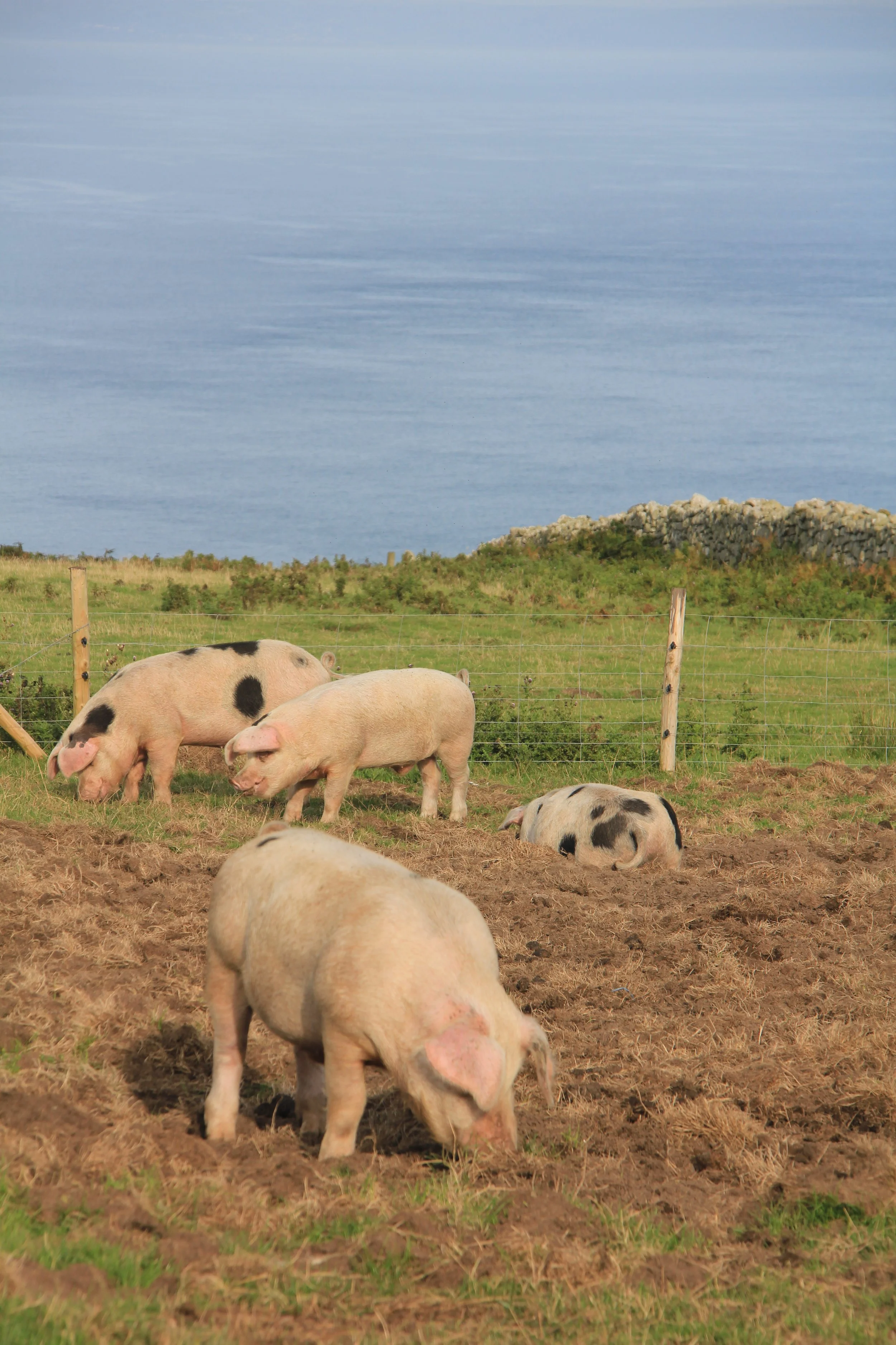
One of Lundy’s many seals
After visiting the small village at the top of the track for refreshments or supplies, walk past St Helena's Church and west to the cliffs of South West Point, and then turn north towards Goat Island. The cliffs are a bit on the crumbly side and anyone walking there should give the edge a respectful foot or two.

This is where we saw our first black rabbit - a breed indigenous to Lundy but at present threatened by the dreaded myxomatosis – we say dozens of little bodies on our way around the isle.


Walking north past Old Light on Beacon Hill, we cross Ackland's Moor which boasts the unlikely remains of a nine hole golf course as well as what is supposed to be – or have been - an airstrip.
Earthquake is the strange name of the next corner of island, which we find after crossing the Quarter Wall. Lundy is divided into four by the three great walls placed at quarter intervals that cross from one side of the island to the other.

At Earthquake there are chasms that you can't see the bottom of – and they leave you with the unnerving impression that whatever tore the granite asunder around here must have had plenty of points on the Richter Scale. Apparently the fissures were caused by the Lisbon earthquake of 1755.

Standing on the edge of Earthquake, Lundy
Earthquake is a good place from which to view the sea-bird colonies that cling to the cliffs around Jenny's Cove.

The name Lundy is Norse for Puffin Island, so it's a good job there are some of these hilarious birds left. In recent years their numbers have dropped alarmingly and no-one is quite sure why, but there still a few breeding pairs and so comic are their antics that you can watch them for hours.
Walking around the steep slopes close to their burrows, the puffins look like pompous fellows off to some posh, old-fashioned London club. But then, suddenly, they hurl themselves off the cliff only to survive by flapping their stumpy wings like pistons. Their landings are just as alarming as they hurtle cliff-wards with only a last second application of air brakes and a downing of undercarriage to save them from oblivion.

Three-quarter Wall, Lundy
Now we marched past Halfway Wall and Threequarter Wall, to the quiet wilderness of North End. On the way you may pass some of the island’s goats and see the wild Soay sheep which are Lundy's answer to antelope. Their rapidity is no doubt aided by the remarkable spring-like quality of the turf which makes the island a delightful place in which to walk.

Rounding North End we begin our journey down the eastern side of the island. Soon we come to Gannets' Rock where you can, if you’re lucky, watch seals as they loll in the sun. Occasionally one will roll lazily into the sea and shoot off like a torpedo through the clear water, somehow belying its beached appearance of so much docile blubber.
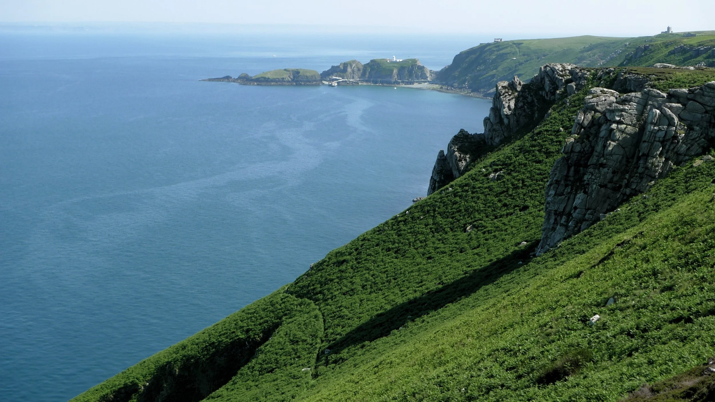
Looking south down Lundy’s east coast
Then it is south again, past the remains of the old gun battery called Brazen Ward. Once across Threequarter Wall, you can chose either to walk directly south along the island’s central track, or take the more interesting coast path.

This will take you down the east side of the island, past the historic quarries and through the rhododendron jungle where you might see a Sika deer or two. Eventually a steep path will take you back up to Lundy’s small settlement where you can enjoy a well earned pint at the Marisco Tavern.

Basic walk if you want to stroll around the isle… Recommended map: not really necessary, but you could take Ordnance Survey’s Explorer 139. Circumnavigation - Distance and going: about seven miles, easy going. Food and drink: there’s a shop on Lundy as well as the excellent Marisco Tavern.


