Guernsey walks
At various times over the years I’ve been invited to go walking on the Channel Isles. Both Jersey and Guernsey have regular walks festivals – and it was to the latter’s springtime event that I was invited one year.

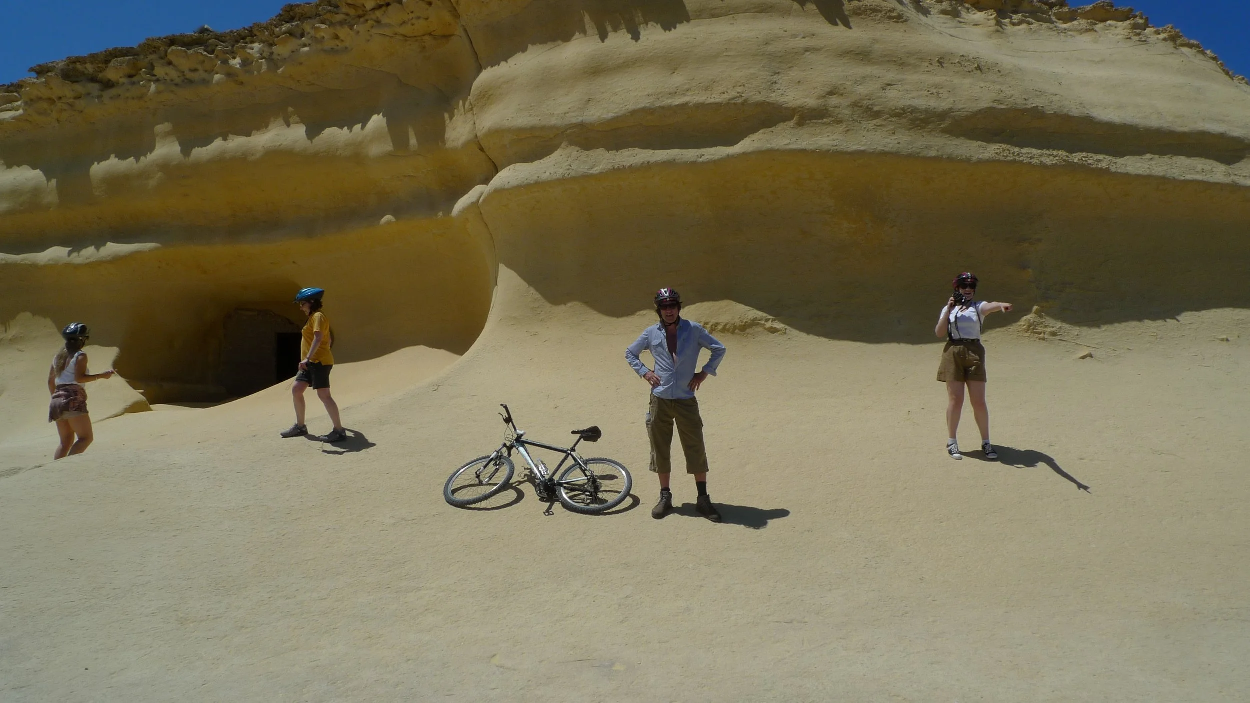
With 28.5 miles of spectacular coastal paths, Guernsey offers walkers a great many excellent hiking opportunities. Getting out and about on foot is the best way to get a real feel for the island which, interestingly, is utterly different from its neighbours.


Guernsey is the second largest Channel Isle after Jersey, with a total area of 25 square miles. From the windows of the aeroplane, Guernsey looks built up, but the view is deceptive. Although no fewer than 65,726 souls live on a lump of rock identical in size to the area covered by the city of Plymouth – the isle is a treasure trove of country lanes, wooded valleys, empty coves and wild windswept cliff-top heaths.
Basically, the island can be divided into two halves: the Haut Pas, the high southern plateau, and the Bas Pas, the low-lying and northern region with its dunes and wide beaches.


The south coast is by far the wilder of the two areas, with rugged cliffs separating a series of charming coves. It would take about six hours to walk the footpath that traverses this glorious section of coast, but I did half the route then caught one of the excellent regular bus services back to St Peter Port.
It was an accredited guide who told me that one of the most popular hikes for visitors was a circular route, south of St Peter Port, along the east coast.

This coast path takes you higher and higher every step of the way until you eventually reach lofty Jerbourg Point which is a vantage point that allows you to see all the other Channel Isles on a clear day.
However, I was enjoying the coastal walking so much that I couldn’t resist continuing at least some way along the south coast to make the best use of my time.

My walk began at the island’s main harbour in St Peter Port, which was still picking itself up and dusting itself down after a day of intense and crowded celebration. Each year Guernsey celebrates Liberation Day on 9 May – the moment in 1945 when the occupying Germans eventually threw in the towel.

This brief and sorry part of Guernsey’s long history is something you cannot escape from, no matter where you are on the island. German World War Two fortifications are to be seen everywhere – indeed, just five minutes from the beginning of our walk we pass the Underground Military Museum which is located in an old Nazi tunnel complex.
Our path south continues to pass various bunkers and other fortifications built down the centuries to defend the island against invading forces. Many are linked to the fact that Guernsey has had a somewhat up and down relationship with its big Gallic neighbour just 30 miles across the waves…


The French have attacked on numerous occasions since Guernsey was claimed by the English crown in 1093. Back then the Channel Islands were called the Isles Normandes, but by 1204 they were showing a more English slant, being known as Les Isles Anglo-Normandes.
The islanders, in return for certain privileges and protection, opted to remain loyal to the English Crown - and have done ever since - although the French returned on plenty of murderous occasions including the Hundred Years War when Guernsey was promptly seized along with Alderney and Sark. Two years after that war began the ping-pong ball of island history saw it being returned to British hands – 16 years after that the French were back, but this time only for a few months.

And so it went on… And on this walk you will see plenty of evidence to show that the island which is now a tax-haven wasn’t, for many centuries, any kind of haven at all.
Our path marches past Soldiers Bay then climbs low cliffs to descend again to Permain Bay – both of which are sandy wonders capable of stalling all but the most determined of hikers.
But now, after passing tiny Marble Bay, we climb again – this time to the heights of Jerbourg Point which marks the very south eastern tip of Guernsey. And it was here, after admiring the views – that I decided to continue west along the south coast as far as I could.


The south coast path is some nine miles in glorious length, and it ducks to sea-level at a few coves, and in true coast path fashion then climbs to the top of high cliffs, only to descend back down to the occasional fisherman’s inlet.
First comes the great, steeply bounded, sweep of Moulin Huet Bay, followed by lesser, but equally as precipitous, Saint’s Bay in the parish of St Martin. By the time you’ve passed beautiful Petit Bot Bay, with its old Martello tower, you will be realising that the south coast path is a serious walk that requires a whole day.

But my afternoon was drawing to a close and, as I’ve already mentioned, one of the marvellous things about this long and sometimes gruelling walk is that you can always throw in the towel. Guernsey is blessed by excellent bus services and wherever you are along the south coast you can head inland along footpaths to reach the round-island Route 7 bus which runs every half hour or so.
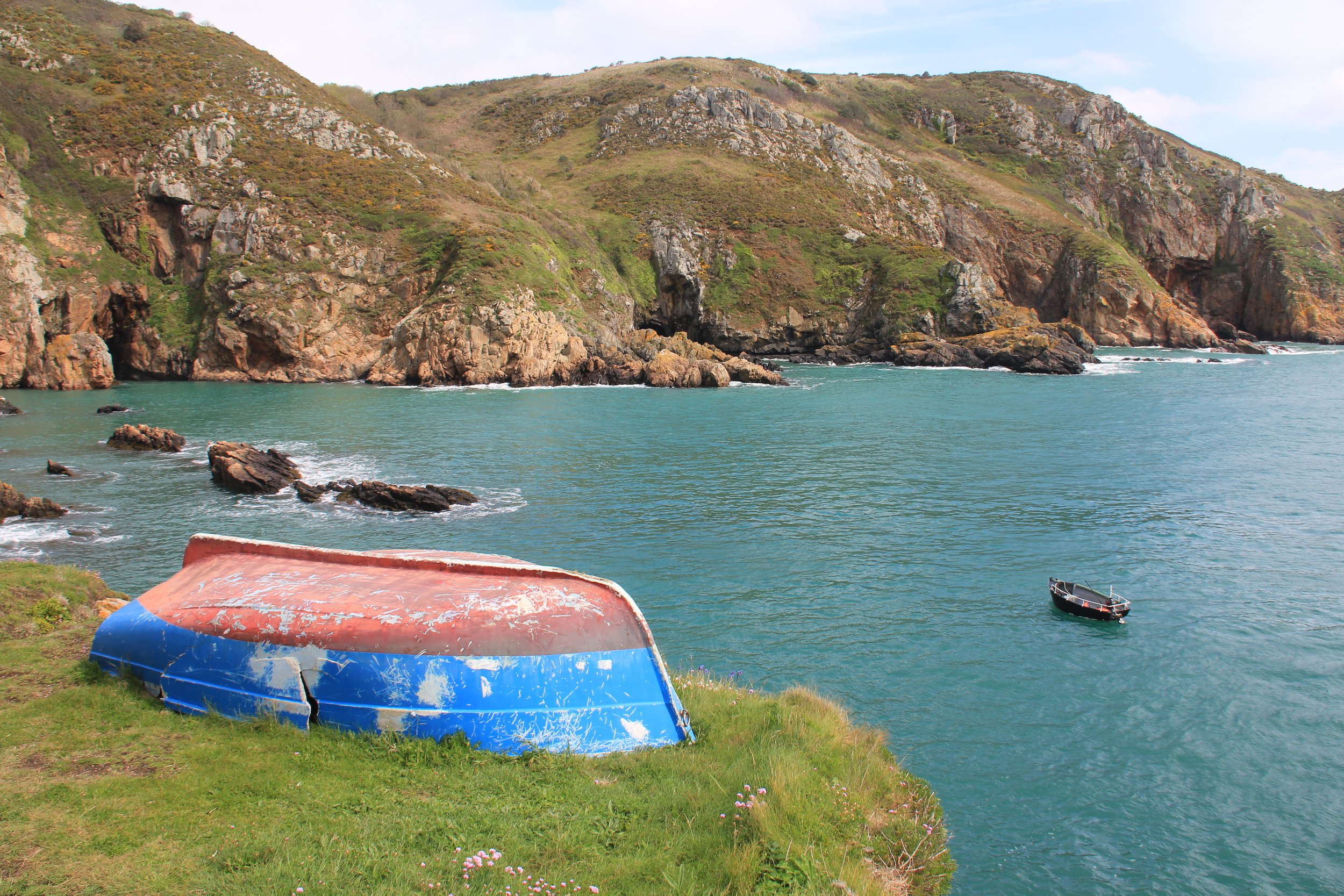
This is what I did once I’d reached a place called Le Gouffre - which is headland that hides a remarkable fishing inlet once described by Victor Hugo (who lived on the island for many years) as the “port on the fourth floor.”

It was an accurate description – the tiny fishing boats here are hauled up from the sea on a near vertical wooden railway to a rocky platform some four storeys above the waves.


It really is an amazing place – an ideal location, perhaps, at which you can say goodbye to this dramatic coast and head inland via local footpaths, past the German Occupation Museum, to the road and the bus stop.
You could write an entire book about Guernsey’s walks, but this five mile taster has to be one of the best…

Fact file
Basic walk – along Guernsey’s coast path – south from St Peter Port to Jerbourg Point then west to Le Gouffre – catching regular bus service back to town.Distance and going – just over 5 miles, easy going