Exmoor Walks: West Lyn River
We’re off to explore the spectacular River Lyn – and a jolly, scenic and exciting time we’ll have of it too. Of course, there are actually two River Lyns and this walk explores the more westerly flow.
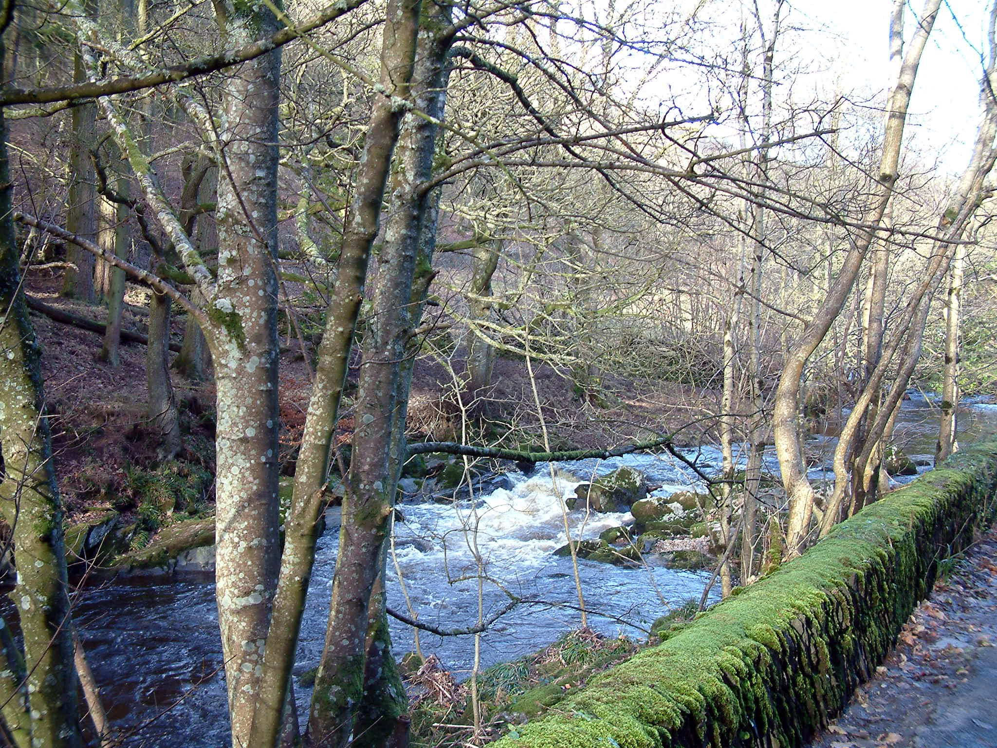
I’ve been to most places on Exmoor and know the East Lyn like the back of my hand. Most Exmoor lovers do, because it tumbles through the heart of Lorna Doone country. My newspaper walks column visited the water several times, but never have we been up the sister stream. Few people find their way up to the headwaters of the West Lyn.
That because there’s a good deal of nothing – except the high and mighty Chains soaking up the rainfall and distributing it down a multitude of streams. Hesp’s Hikes has featured those lonely heights before, but places like Shallowford Common, Thornworthy Common, Benjamy and Ruckham Combe have, for the most part, been left uncovered .
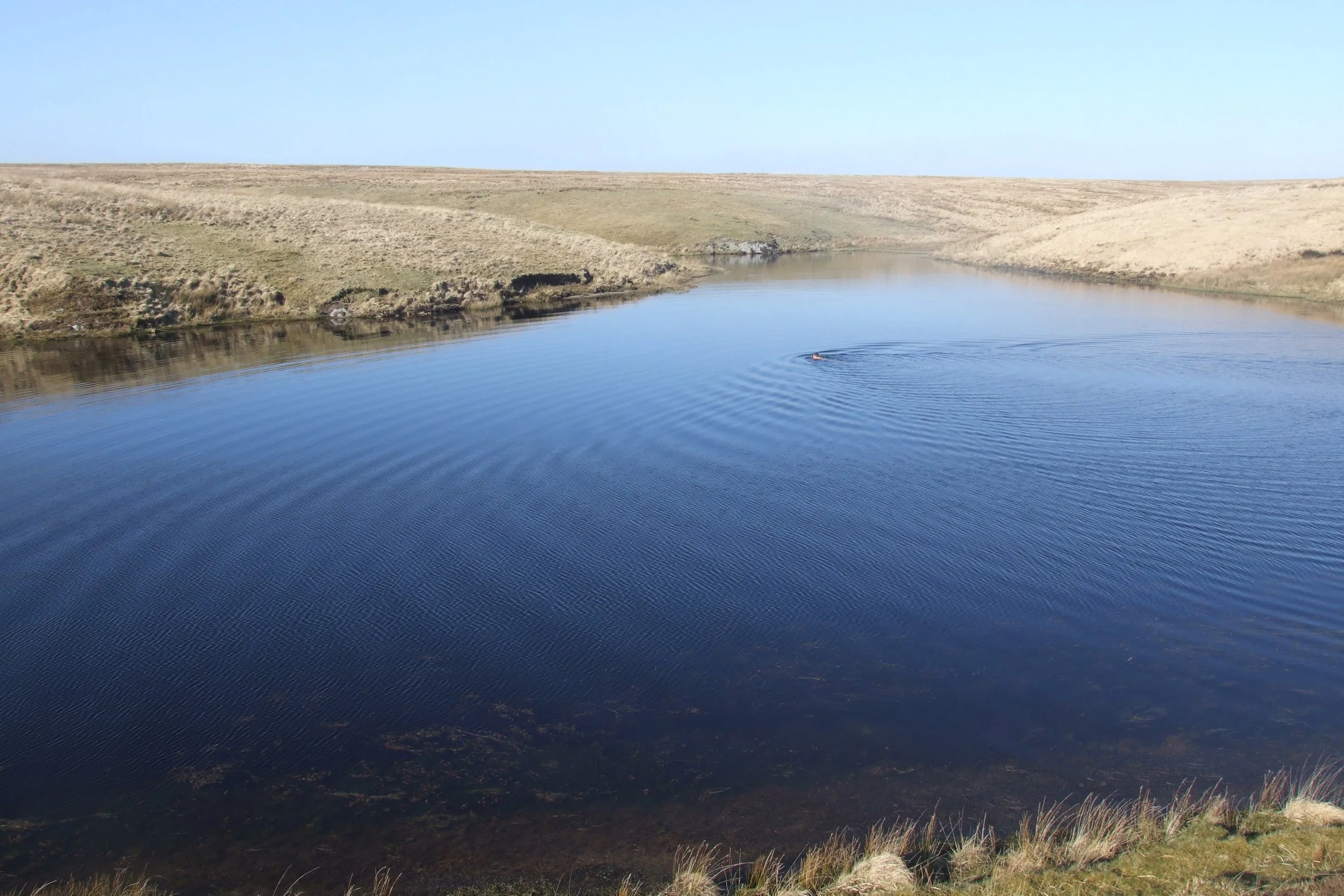
If you like this article you might like the walk to Pinkery Pond

To find this little lot you have to drive to Barbrook, high above Lynmouth on the A39. The hamlet is situated at the Y-shaped junction of two valleys and in the middle of the place you’ll see a petrol filling station. Two small roads lead south up the West Lyn valley either side of the petrol pumps – and we hikers must take the western lane (to the right of the filling station as you look at it) and proceed upwards past an area called Cherrybridge.
Eventually the lane debouches onto a high moor and we continue along it to its end. There is absolutely nothing here save for a single cottage, which must be one of the loneliest in the Westcountry. But this most unused of thoroughfares was once an ‘A’ road of sorts - the Bronze Age folk, who lived in these hills and who left their burial chambers all around, used it as a highway ‘twixt hill and sea.

Parking isn’t a problem in these great empty acres – though choosing a walking route is a little more of a poser. Because you are on as featureless a plain as any you’ll find anywhere in the region. But, though the tarmac ends by the cottage, the track continues to ascend to the south - so I decided to follow it up into the mists. I knew that once I’d reached the top of the hill (called Winaway) I could turn left (east) and, by walking straight, I’d come to the headwaters of the West Lyn.
Had I continued on up to Woodbarrow Gate, I’d have reached the watershed and been able to look right down on Pinkery Pond and the headwaters of the Barle, but I’ll leave that for the happy day when I explore that splendid stream. Walking east across Winaway is a featureless experience to say the least – until you drop into the steep and empty vastness of Ruckham Combe. What a place this is – a yawning ravine which twists and turns its way north.

We continue east, climbing past the Ring Cairns, over the hill to Benjamy. The lovely old name describes nowhere. There is just bog and moor at Benjamy. I looked up the place hoping there’d be some wonderful old tale about a bloke called Benjamin – perhaps he lived in the shepherd’s hut that is now just a tiny pile of stones on the hillside? But there was no Benjamin, all I could find out was that the place was once known as Binchiny.
The rain started to fall in earnest, so I repaired down Warcombe Water as fast as I could go. However, from Benjamy you could proceed east to Hoaroak before heading north along the ridge of Furzehill Common. At a point near Roborough Castle you’d then turn west down the footpath to reach the hamlet of North Furzehill, where you’d find the track back over the Shallowford.
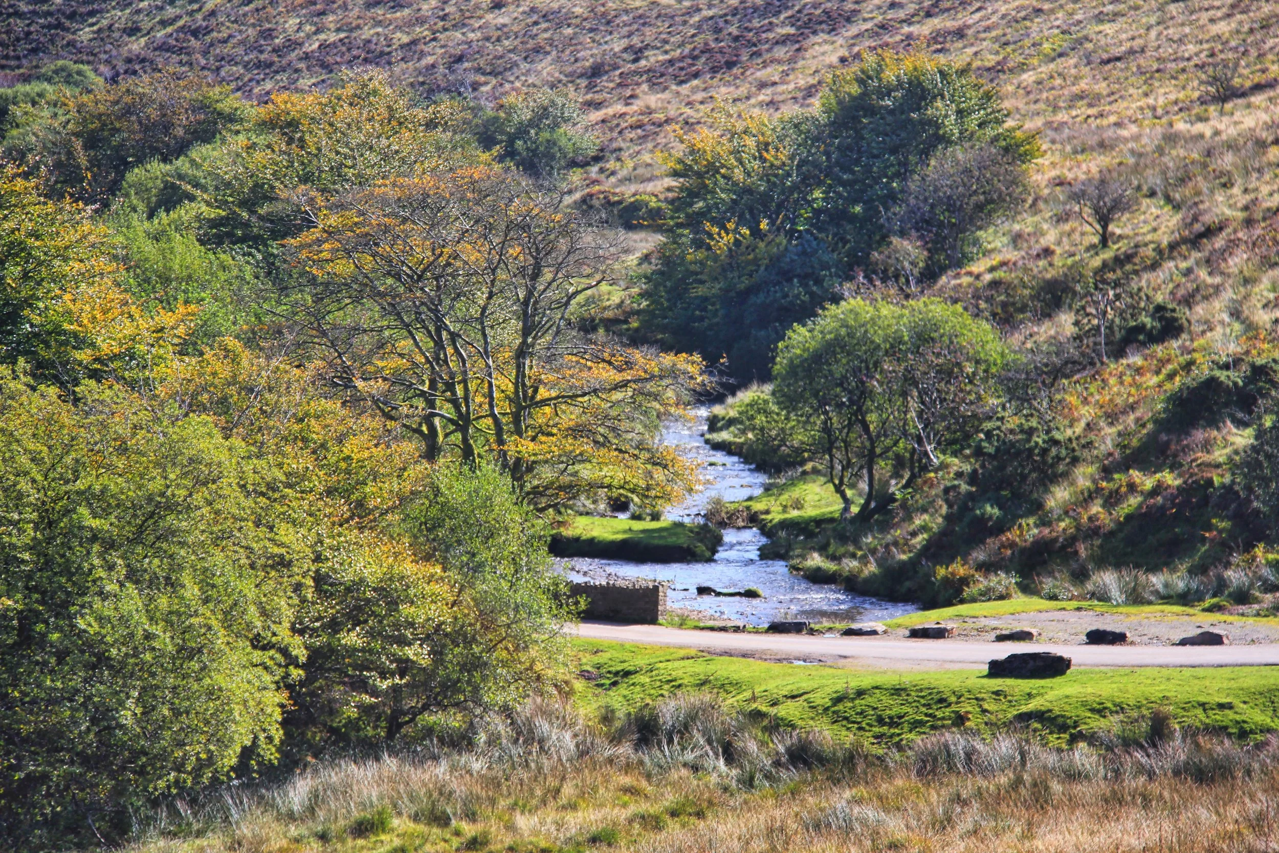
But, as I’ve said, I found myself alongside Warcombe Water – the name probably refers to the stone weirs that once punctuated the stream. After a few hundred yards I saw a bit of a sheep track climbing out of the shallow valley to the left, so – knowing that this direction would take me back to my car – I crossed the hill to find myself on the shores of the West Lyn under Thorn Hill. This is the point where the aforementioned Ruckham Combe disappears up into the Chains with serious intent.

Leaping across the stream I found a more substantial track and followed it as it weaved several great bends around Ilkerton Ridge. I imagine that superb views could be had from most of this walk on a fine day – including the vista you’d get down the West Lyn valley – but I was denied that as I plodded through the rain.
All these empty acres were once the inspiration for great plans. When the Knight family was reclaiming Exmoor some 200 years ago, they dreamed of turning the high moors into region of bleating productivity. Shepherds with names like Davidson, Graham, Johnstone, MacDougal, Little, Murray and Gourdie were brought in from the similarly wild highlands of Scotland to help turn Exmoor’s heights into sheep country.
Some, like Robert Tait Little, brought their sheep with them – not by train but by foot. Can you imagine it – herding several hundred woolly brained critters all the way from Dumfries to Devon? Now, hardly a sheep rovers these uninhabited wastes.
I didn’t intend hanging about for long either. The easy to follow trackway took me over Ilkerton Ridge and back to Shallowford – and, with a quick but damp turn of the key, I was off to a well known Exmoor restaurant. And within hours, as the waiters served this and that, the lonesome shepherd hut at Benjamy seemed a long, long way away indeed.
Fact File
Basic Hike: from Shallowford (two miles south of Barbrook) up the track to Winaway, then east to the top end of Ruckham Combe, onwards to Benjamy and then north down Warcombe Water before crossing Thorn Hill west to the West Lyn. Then back to Shalllowford along the track which leads over Ilkerton Ridge.
Recommended map: Ordnance Survey OL9 Exmoor.
Distance and going: five miles – can be boggy.